
A ceramic bowl recovered from the seabed can reveal more about Asia than a map alone. This guide to maritime trade routes follows the sea lanes that brought Chinese porcelain, Southeast Asian spices, Indian textiles and foreign ideas into the same harbours – including the historic waters around Penang.
For centuries, the sea was not the edge of civilisation. It was its great meeting place. Merchants, sailors, pilgrims and diplomats moved through monsoon winds and narrow straits, connecting ports from China and Japan to India, the Middle East and Europe. What they carried transformed dining tables, religious practices, languages, fortunes and cities.
Why Maritime Trade Routes Matter
Maritime trade routes were more than lines between one port and another. They were living networks shaped by weather, political power, local knowledge and demand for rare goods. A journey might begin at a Chinese kiln, continue through a bustling Southeast Asian entrepôt, and end in a royal household thousands of miles away.
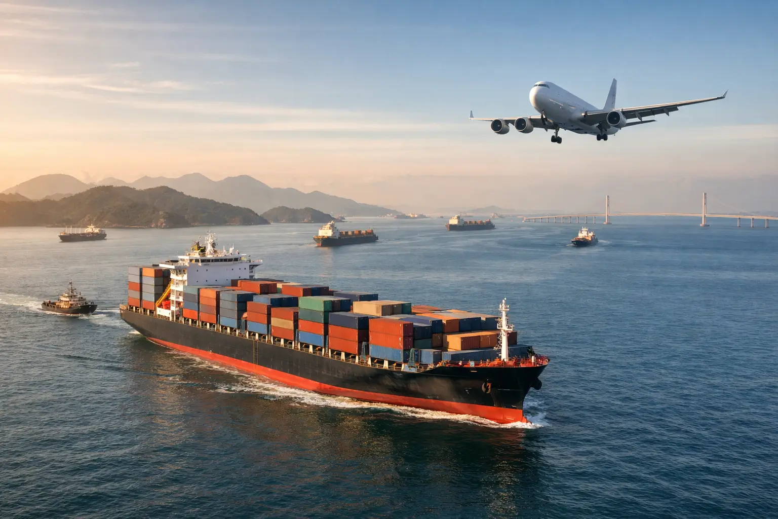
Sea transport made long-distance exchange possible at a scale overland travel could rarely match. Ships could carry thousands of ceramics, jars of preserved food, metalware, timber and textiles in one voyage. Yet this efficiency came with real risk. Reefs, storms, piracy, shifting currents and uncertain ports could turn a commercial journey into a shipwreck.
Those losses are now among the most eloquent records of maritime history. A cargo preserved beneath the sea can show what was being traded, how goods were packed, which markets mattered and which cultures were in conversation with one another.
The Maritime Trade Routes That Connected Asia
The best way to understand Asian seaborne trade is to see it as a linked system rather than a single route. The famous Maritime Silk Road was not one fixed passage. It was a web of seasonal crossings, coastal voyages and strategic stopovers.
The South China Sea passage
The South China Sea formed a vital gateway between southern China and Southeast Asia. Ships leaving ports in China carried ceramics, silk, lacquerware and metal goods southwards. They sailed towards Vietnam, Borneo, the Philippines and the Malay Archipelago, where cargo could be exchanged, supplemented or redistributed.
Chinese porcelain became particularly influential because it was durable, desirable and recognisable. Its forms and decorative styles travelled widely, inspiring local potters and appearing in homes, temples and trading communities far from their place of manufacture. The presence of Chinese wares in a shipwreck does not merely indicate export. It points to a carefully organised commercial world with buyers, agents, sailors and port authorities behind it.
The Strait of Malacca
Few waterways have held greater importance in Asian trade than the Strait of Malacca. Its position between the Malay Peninsula and Sumatra made it the natural passage linking the South China Sea with the Indian Ocean.
The strait was also a place to pause. Ships needed fresh water, food, repairs, interpreters and intelligence about prices or political conditions ahead. Port settlements prospered by offering these services, while rulers understood that control of a harbour or passage could bring wealth and influence.
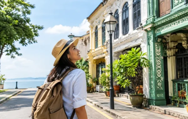
Penang’s position near this historic maritime corridor gives its heritage a particular resonance. George Town grew within a world already shaped by movement across the seas, where people and goods from across Asia could arrive, settle and leave their mark on the town’s culture.
The Indian Ocean network
Beyond the Strait of Malacca, ships entered the Indian Ocean. From there, routes extended west to the Indian subcontinent, Sri Lanka, the Persian Gulf, the Red Sea and the coast of East Africa. Indian ports supplied fine cotton textiles, spices, gemstones and crafted goods. Arab and Persian merchants played an important role in carrying goods and commercial knowledge across the region.
This network operated according to the monsoons. From roughly late autumn to early spring, north-easterly winds favoured voyages towards the Malay Peninsula and the Indian Ocean. South-westerly winds later enabled return journeys. The timing was not optional. A captain who misunderstood the wind cycle could face delays of months, damaged cargo or far worse.
Routes towards the wider world
Asian maritime trade also connected to Europe, though the relationship changed over time. Before European colonial powers entered the region, Asian merchants had already built sophisticated commercial systems. Portuguese, Dutch and British companies later sought to redirect and control parts of this trade, particularly the movement of spices, tea, textiles and porcelain.
It is tempting to treat this period as a story of European expansion alone. The fuller picture is more complex. Local rulers, Chinese merchants, Indian traders, Arab seafarers and Southeast Asian communities continued to shape commerce, negotiate access and maintain their own networks. Maritime history is most compelling when it allows room for all these actors.
Reading a Route Through Its Cargo
A shipwreck is a rare snapshot of a journey interrupted. Its cargo may include valuable wares intended for elite customers alongside ordinary items for everyday use. Bowls, dishes, storage jars and cooking vessels can reveal different markets and social habits.
Ceramics are especially useful to historians because they can often be dated through their glaze, form, decoration and kiln origin. A blue-and-white dish may suggest a particular period of Chinese production; a brown-glazed jar may indicate a practical need for storage aboard ship or in port communities. The way objects were stacked also matters. Packed porcelain tells a story of commercial care, space-saving skill and the realities of transporting fragile goods through rough seas.
At Straits & Oriental Museum, authentic shipwreck ceramics make these distant routes tangible. Objects associated with wrecks such as the Wanli, Turiang, Royal Nanhai, Nanyang, Xuande and Desaru offer visitors a direct encounter with the commerce that once passed through Asian waters. Their beauty is immediate, but their value lies equally in the journeys they represent.
How to Read a Maritime Trade Map
Maps can make old sea routes look deceptively simple. To read one well, look beyond the arrows.
First, identify the chokepoints: straits, river mouths and sheltered harbours. These were places where ships concentrated, where tolls could be collected and where cultures met most intensely. Next, consider the seasons. A route that appears direct may have required a long wait for favourable winds or a series of smaller coastal passages.
Then examine what moved in each direction. Trade was rarely a simple exchange of one region’s goods for another’s. A ship could load Chinese ceramics, acquire Southeast Asian forest products, take on Indian textiles, and carry all of them onward to a new market. Goods were often traded several times before reaching their final owners.
Finally, ask who made the voyage possible. Captains and merchants are visible in many historical accounts, but porters, interpreters, shipwrights, cooks, divers, pilots and dockside traders were just as essential. Maritime trade was built by communities as much as by individual adventurers.
A Heritage Journey Worth Taking Slowly
The enduring appeal of maritime trade routes lies in their human scale. A porcelain cup may have crossed stormy waters in the hold of a wooden vessel, survived a wreck for centuries, and emerged with the marks of both craft and time still visible.
When you encounter such an object, linger over its details. Consider the hands that made it, packed it, traded it and perhaps waited for it at a distant port. The sea connected those lives – and its stories still reward anyone willing to read beyond the shoreline.